Medieval Lucca: Urban Transformations between 6th and 16th Century.
Until the late 20th century, knowledge of medieval Lucca and its territory was primarily based on documentary evidence, sporadic archaeological findings, and remnants from that era integrated into the city’s historical architecture. Only with the development of urban archaeology and the adoption of the stratigraphic method, starting from the 1980s, has it been possible to reconstruct in greater detail the city’s transformations during the Middle Ages.

This project aims to study the urban transformations of Lucca’s historic center between the 6th and 16th centuries, a timeframe chosen to analyze the complete transition from a Roman colony to the formation of the communal city, up to the establishment of the Renaissance city walls, an event that represents a clear break in urban development. For the same reasons, the area under examination corresponds to that enclosed within the Modern-age city walls.
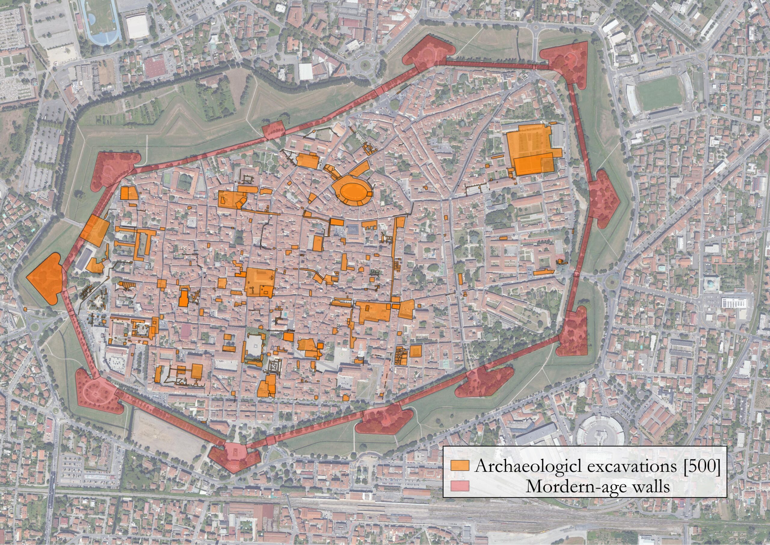
The research is based on the study of archaeological excavations conducted within the urban center, known through archaeological reports and scientific publications. The analysis of grey literature will constitute the starting point, while published material, where available, will be used to verify interpretations of preliminary reports submitted to the Soprintendenza.
Archival documentation was examined in collaboration with the Soprintendenza Archeologia, Belle Arti e Paesaggio for the provinces of Lucca and Massa Carrara (SABAP-LU), aimed at systematizing excavation data in the archaeological database MAGOH (https://magoh.cfs.unipi.it/). This objective was achieved through the consultation and acquisition of documents preserved in the archives of the Museo Archeologico Nazionale di Firenze (MAF) and SABAP-LU.
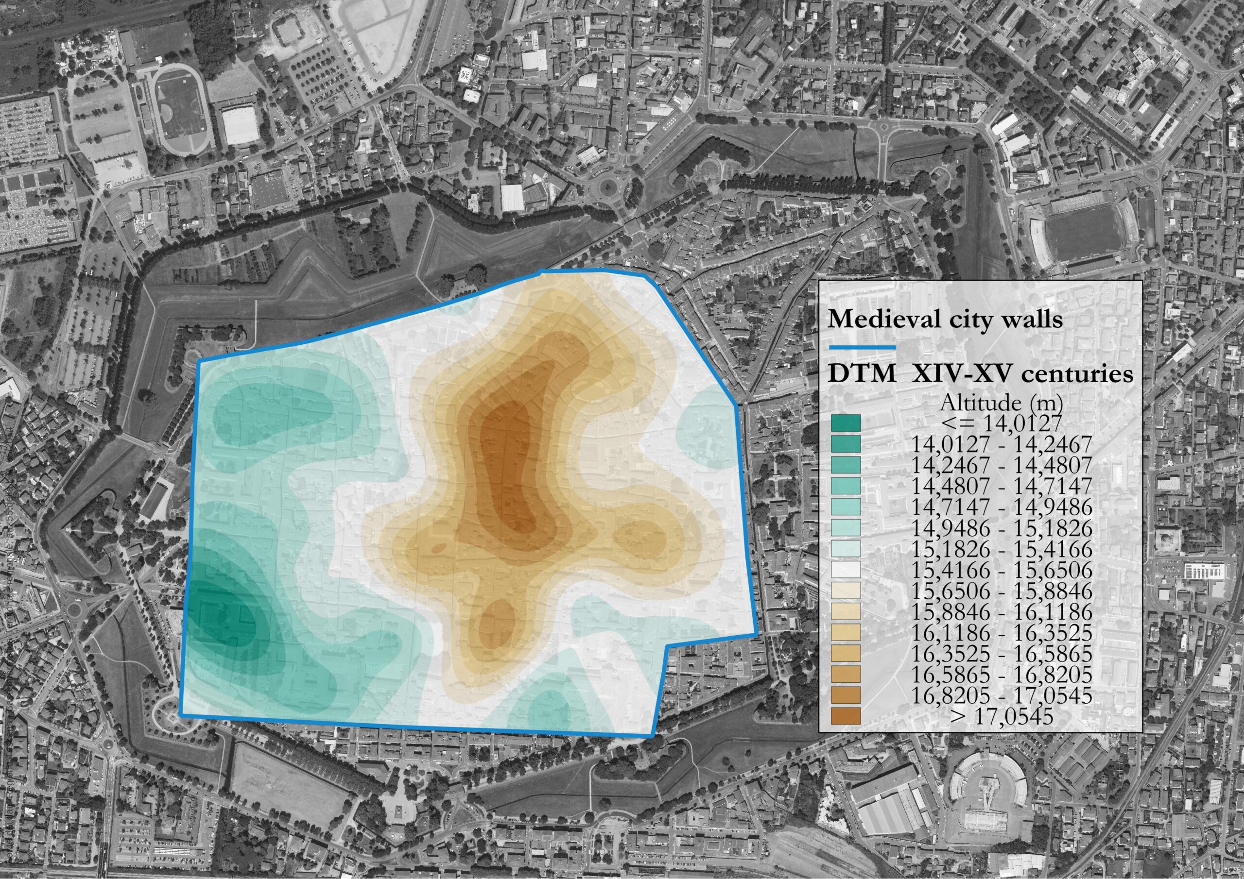
The analysis of excavation data will be integrated with the digitization of studies related to early and late medieval documentary sources and with the creation of a database of medieval remnants identifiable in Lucca’s urban center. All the information collected was digitised in a GIS environment and will be used to conduct spatial analyses, using QGIS and R, to reconstruct the topographical and social transformations of the urban centre.

Project by:
Francesco D’Antoni, for the National PhD Programme in Heritage Science (Sapienza University of Rome, curriculum 8 “Analysis and Management of Cultural Heritage” – IMT Lucca).
fda.dantoni@gmail.com
