Projects
Medieval Lucca: Urban Transformations between 6th and 16th Century.
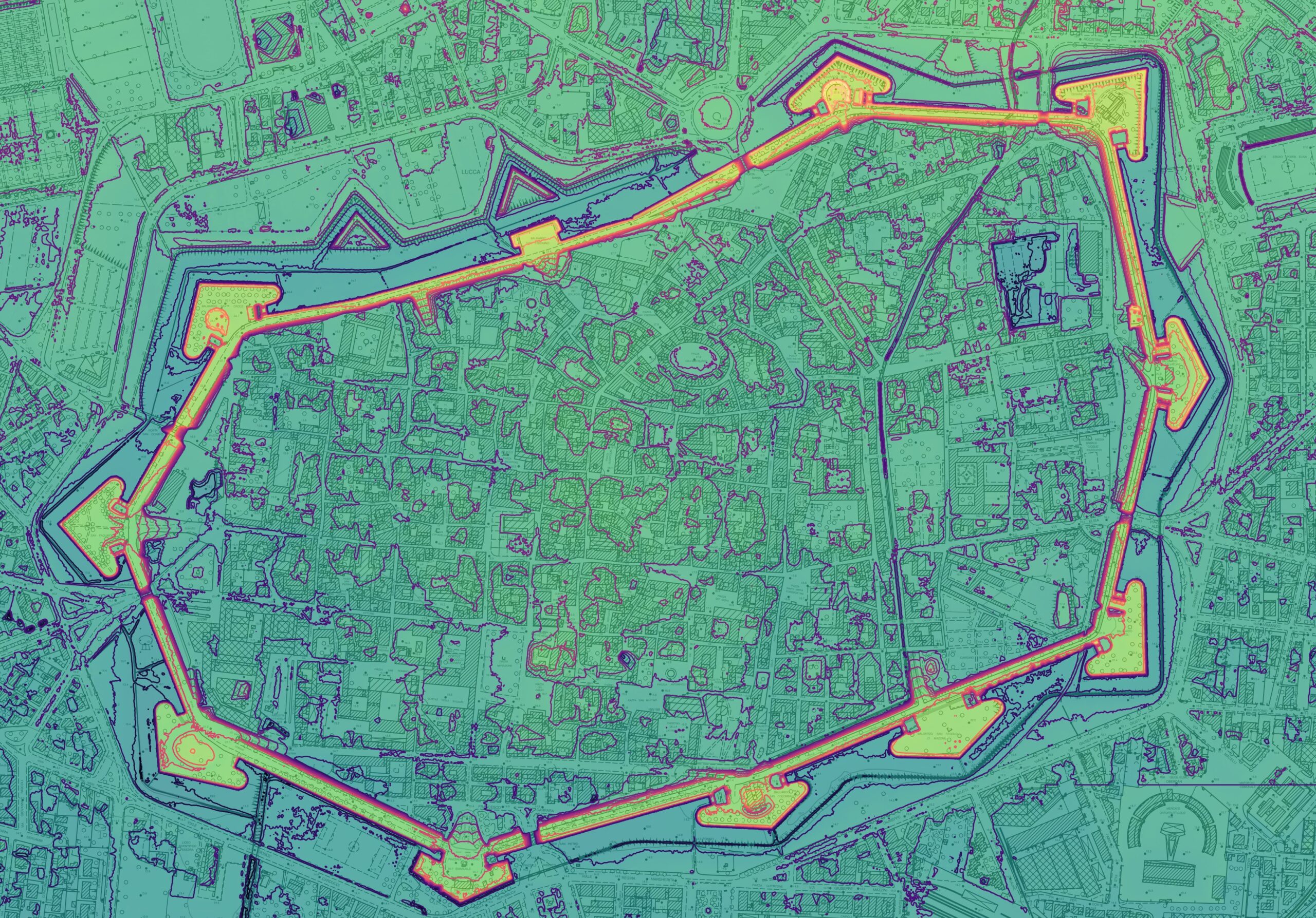
Until the late 20th century, knowledge of medieval Lucca and its territory was primarily based on documentary evidence, sporadic archaeological findings, and remnants from that era integrated into the city’s historical architecture. This project aims to study the urban transformations of Lucca’s historic center between the 6th and 16th centuries, a timeframe chosen to analyze the complete transition from a Roman colony to the formation of the communal city, up to the establishment of the Renaissance city walls, an event that represents a clear break in urban development.
SHARED
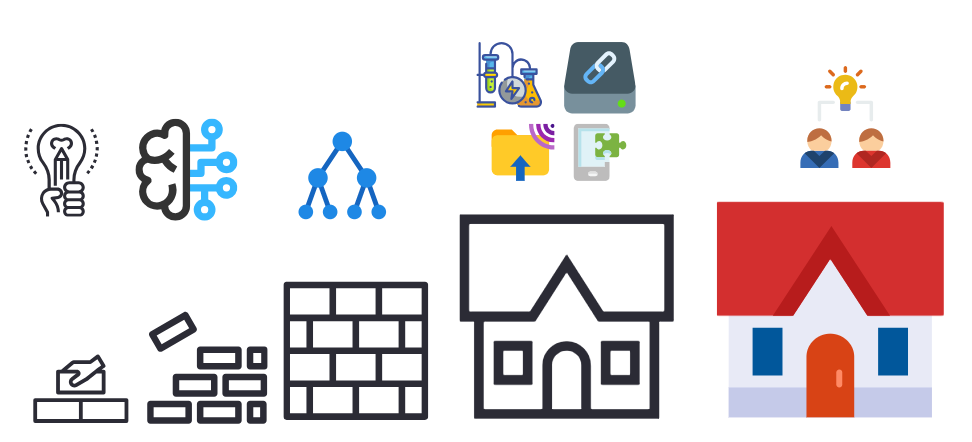
SHARED – Semantic-based Heterogeneous Archive for Reusable Exchangeable Data in Archaeology and Archaeometry is an innovative project aimed at creating an advanced digital collection that can be integrated into existing digital platforms to archive, correlate, visualize, and share archaeological and archaeometric data. This system seeks to connect these datasets with heterogeneous information from complementary domains, such as geology, chemistry, physics, and geography, utilizing automated metadata techniques based on AI and Natural Language Processing.
FRAGMENTS
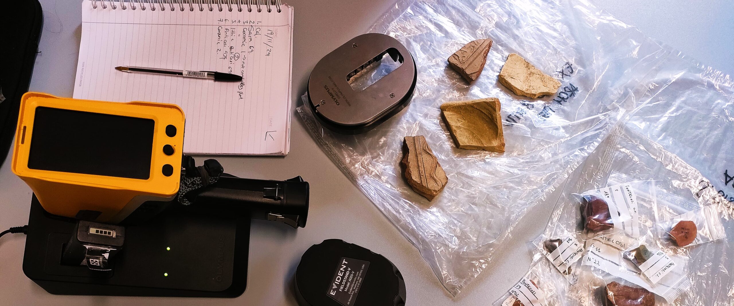
FRAGMENTS is a doctoral research project that seeks to revolutionize the study, digitization, and conservation of archaeological ceramic artefacts. By integrating cutting-edge non-invasive archaeometric methods and advanced digital technologies, the project aims to make thousands of artefacts currently stored in museum repositories accessible online. As part of the Horizon Europe AUTOMATA project, FRAGMENTS will develop protocols for creating detailed digital profiles that highlight the cultural and scientific significance of these objects.
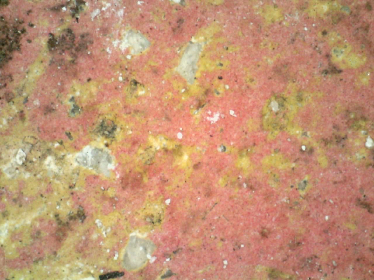
The Life of Pigments: From Raw Material to Application. Archaeometric Study of Roman Painted Plaster Between Northern Etruria and the Sea
The pictorial decorations of Roman buildings bear witness to the artistic tastes and techniques of the time, but their creation is closely tied to ancient economic, political, and social processes. Beyond decorative and iconographic aspects, these artifacts provide valuable insights into ancient craftsmanship, as well as commercial and social dynamics. While numerous studies have focused on the stylistic and iconographic classification of mural paintings, fewer have explored the production cycle and technical know-how required for the preparation and application of pigments, although interest in this field has grown in recent years. This project aims to study the chaîne opératoire of pigments used in the coastal and insular contexts of northern Roman Etruria, reconstructing the production and application phases and the social, economic, and commercial implications of the raw materials used, by analysing samples with non-invasive and micro-invasive archaeometric techniques.
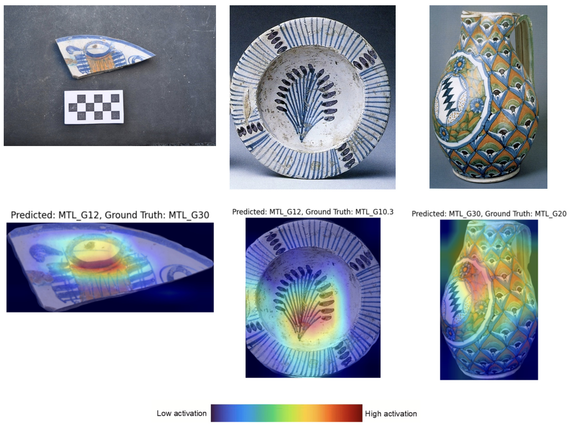
Artificial Intelligence for the analysis of Montelupo Majolica
This research proposal aims to utilize deep learning techniques to enhance the value of a “territorial” asset such as the late and post medieval majolicae of Montelupo Fiorentino, which are distinguished by their extensive decorations.
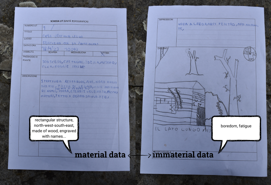
HERMES: Heritage, Engage and Relate Merging intangiblE and Scientific data
The project’s title is “HERMES (Heritage, Engage and Relate Merging intangiblE and Scientific data) – Proposal for a Public Archaeology of Data.” It is based on the premise that archaeology should be conceived as public archaeology, where everyone is actively involved, and this can begin with the creation and management of data.
MAIA – Managing Artificial Intelligence in Archaeology (2024-2028)
The advent of Artificial Intelligence (AI) applications within archaeology has brought incredible opportunities but also significant challenges. Only a few years ago, Machine Learning algorithms and Neural Networks were concepts unknown to archaeologists; now, AI has been applied to many archaeological fields, from the detection of archaeological sites, the recognition and reassembling of archaeological pottery, the mining of text from historical documents and epigraphs, the study of human remains, the identification of murals and graffiti, and even robotics.
AUTOMATA - AUTOMated enriched digitisation of Archaeological liThics and cerAmics
Objects connect us to memories and experiences. They possess biographies that reveal their human relationships. This is why archaeologists focus on material culture, gathering countless archaeological finds to preserve what we can learn and the stories they create for current and future generations.
AviArch Avifauna in archaeoecological networks (2023-2028)
Building upon and moving beyond biomolecular archaeology, AviArch will explore, from a bird’s eye view, the transition to
agriculture in Epipalaeolithic/Neolithic southwest Asia and the emergence of urban life and trade routes in Bronze Age Crete.
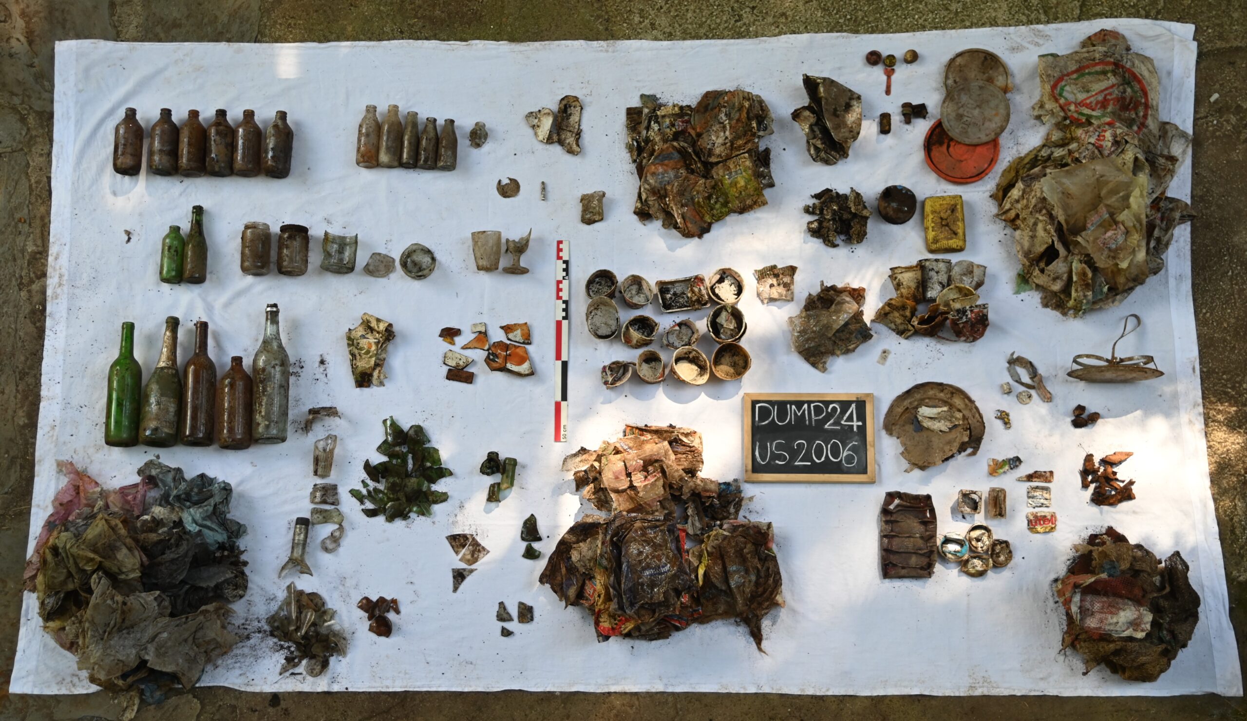
DUMP: Digging Up Contemporary Past
DUMP is a project that documents, reconnaissances, and excavates one of the dumps created during those decades. It is located under Monte Matanna in the Alpe della Grotta area.
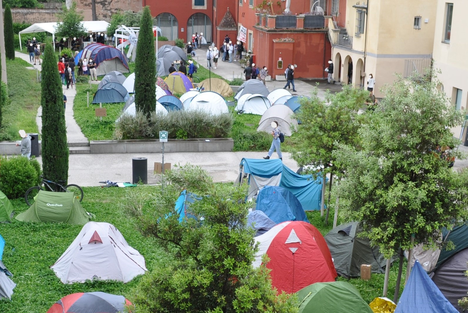
Acampada24 – Archaeological view
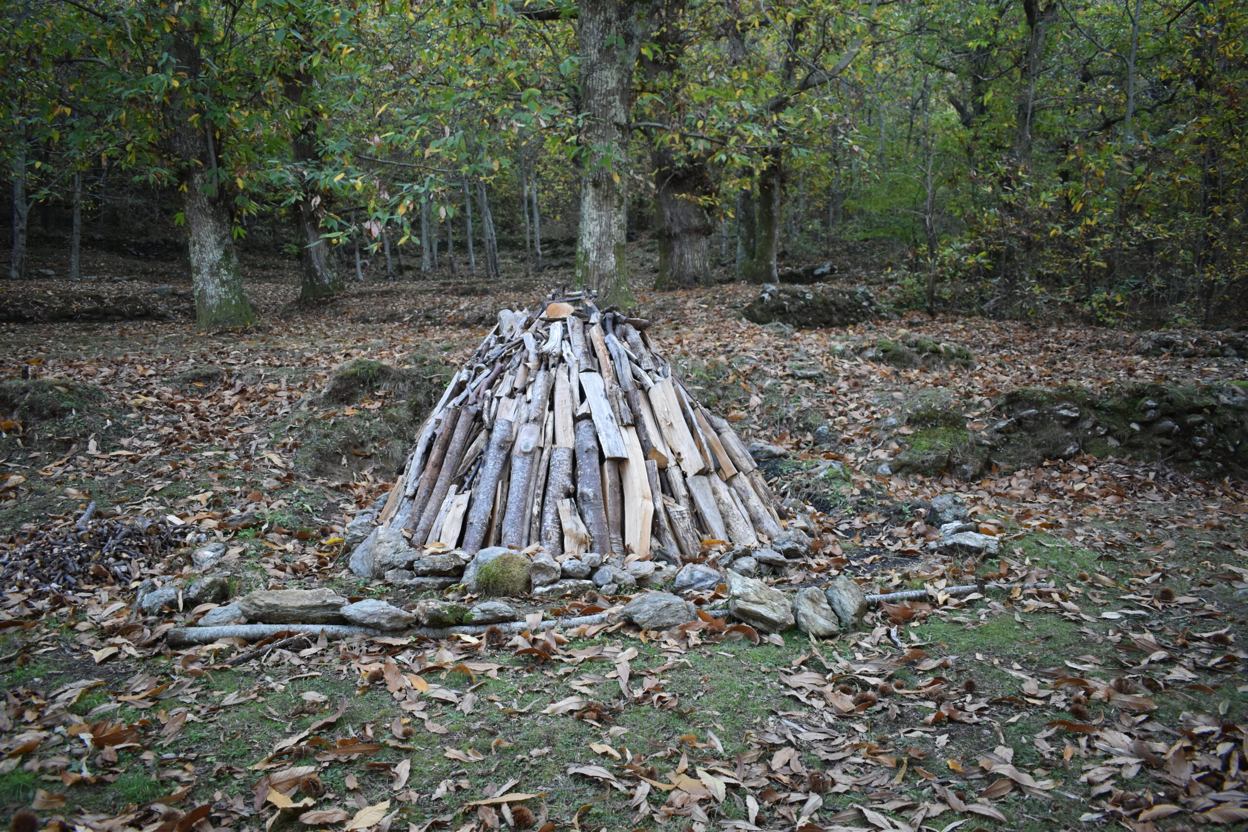
ArchMOSS - Archaeology of MOuntain for EcoSustainable development
Since the post-war period, human depopulation and the abandonment of agro-silvo-pastoral activities in the Apuan Alps have allowed the reoccupation of mountain spaces by animal and plant species. Abandonment/resilience/reoccupation characterise the Tuscan mountains and have led to the creation of protected natural areas and the development of conservation policies which, however, are not always fully understood by local communities, opening debates and conflicts on development and environmental preservation policies.
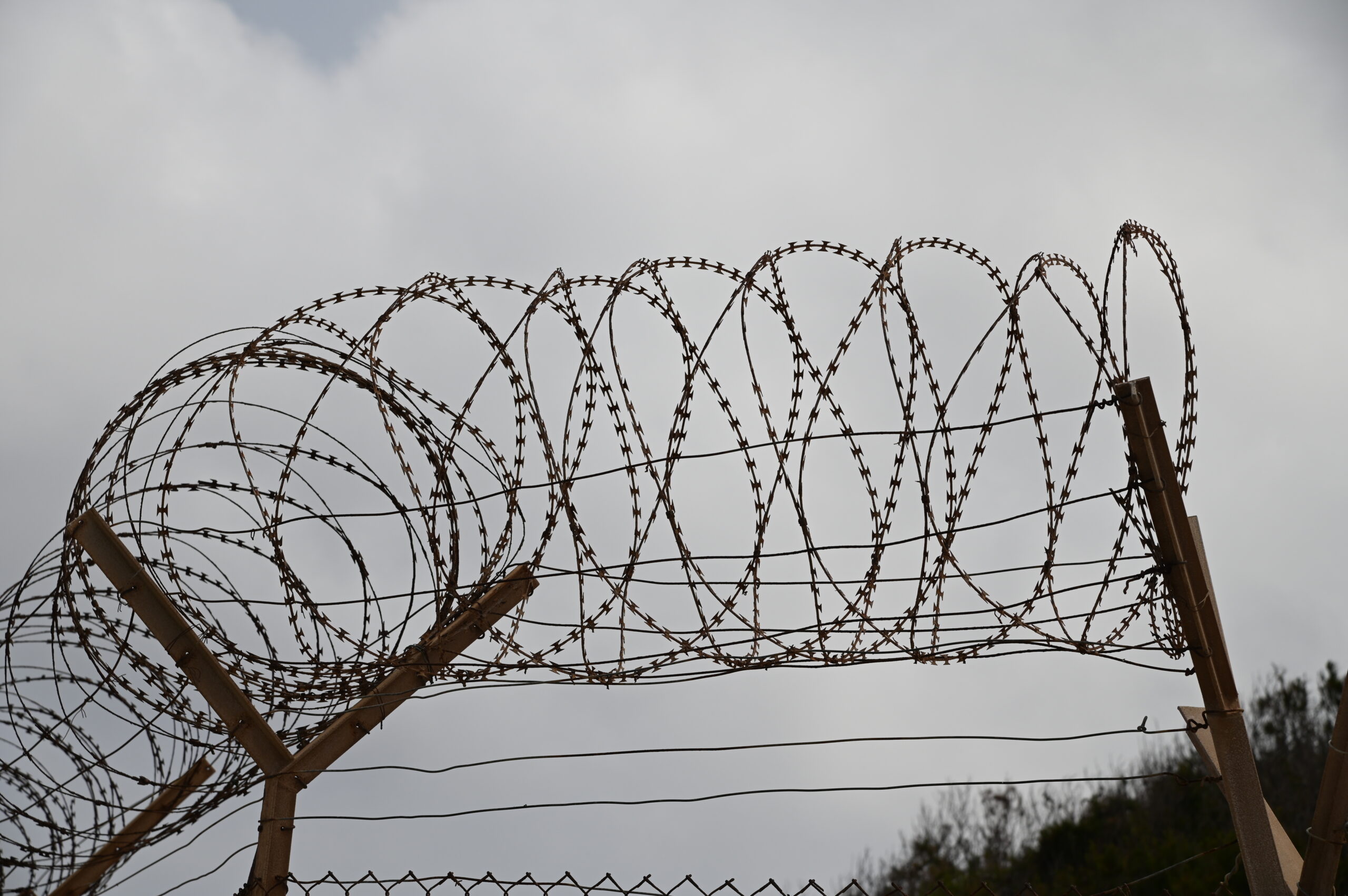
LI.MA. (LIminal MAteriality)
LI.MA. (LIminal MAteriality) is a particular educational project promoted by the class of Modern and Contemporary Archaeology and funded by the University of Pisa, dedicated to archaeologically exploring materiality along the borders of migratory routes in an attempt to understand what contribution the archaeological discipline can make to the counter-narrative of migratory phenomena and the relationships that are established with territories, landscapes, and liminal communities.
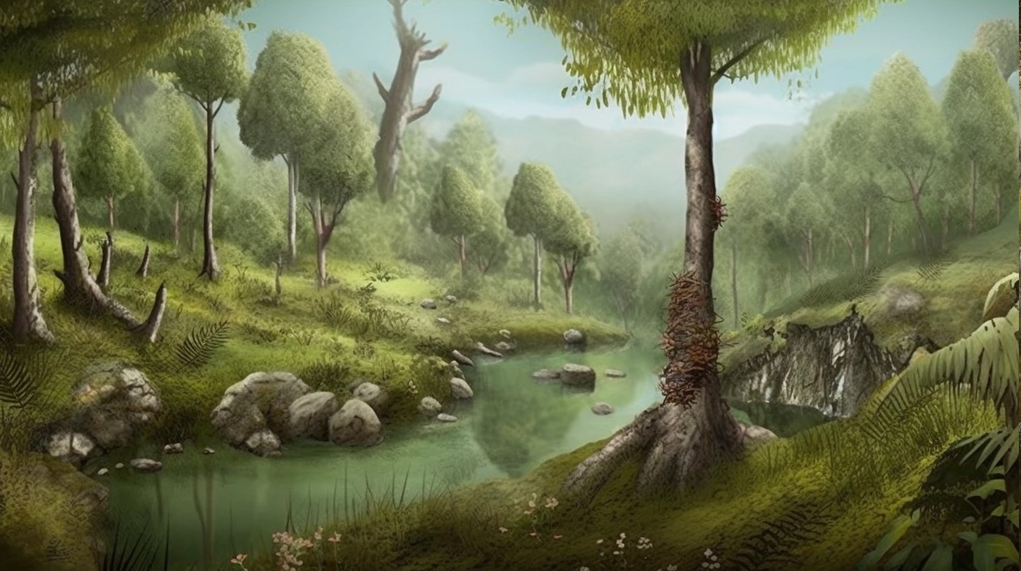
Reconstruction of the paleoenvironment with AI techniques, starting from archaeobotanical data: the relationships between humans and non-humans. (2023-2026)
Environmental reconstructions play a crucial role in archaeology, allowing researchers to understand the complex interaction between humans and their surrounding environments throughout history. Over the last decade, Artificial Intelligence (AI) has been increasingly explored in the archaeological field and the application of techniques that are part of AI has proven to be a valid aid in repetitive or time-consuming tasks.
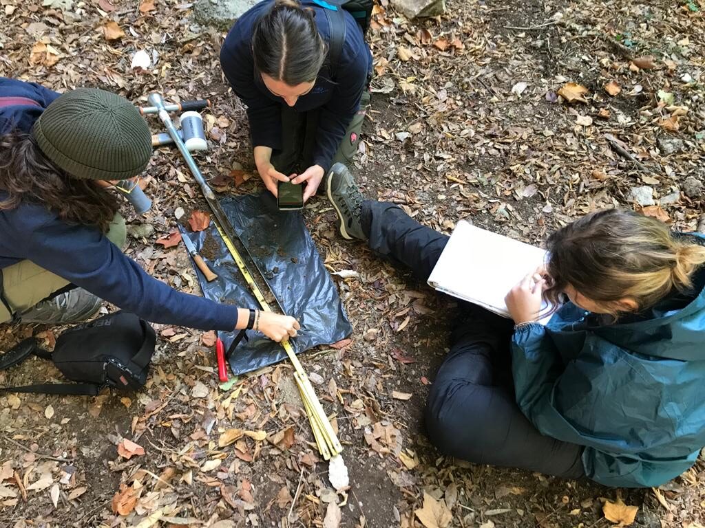
CHARCOAL
CHARCOAL is a special didactic project aimed at accompanying students in the identification, documentation and study of anthracological evidence related to charcoal production in the Versilia mountain area. The aim of the initiative is to broaden the didactic offer by means of a specific course involving the participation of an external trainer, Dr. Radoslaw Grabowsky, an archaeobotanical expert with extensive international experience in the world of research and preventive archaeology.
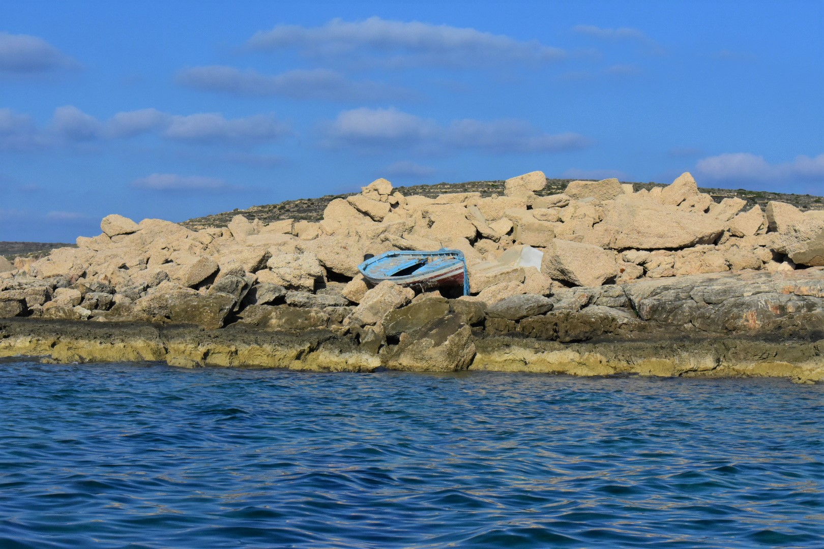
Re-Connect - Mending narratives and communications about migration
Following the special educational projects Archaeology of the Border, ISLAND and E-Cool, Re-Connect aims to continue to work in a transdisciplinary way, between archaeology, anthropology and audiovisual communication, on systematizing the enormous amount of documentation collected: images, videos, interviews, ethnographic observations and archaeological records.
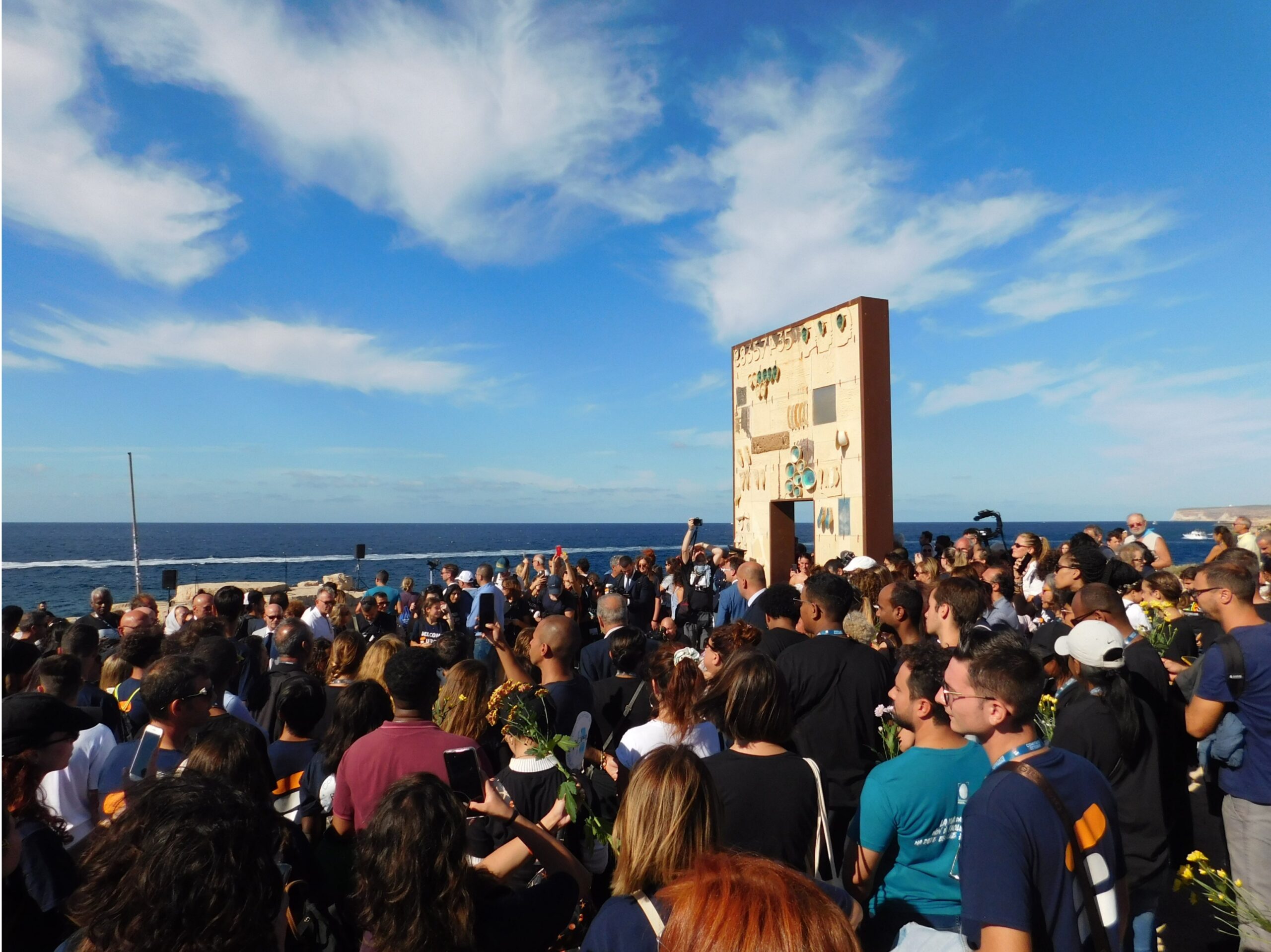
TOM - Traces of Movements (2022-2025)
The forced migrations and displacement we witness daily represent only the latest chapter in millennial history that has involved the movement of people and populations between different areas of the planet.
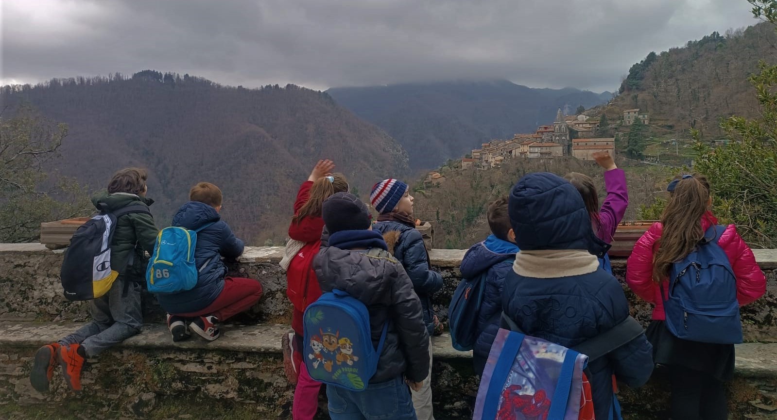
Memories of things, places and life.
The landscape transformation after the Second World War is a natural theme for those who live in mountain areas. The depopulation of villages and high-altitude sites and the abandonment of crops and woods is still partially legible today in the tangible and intangible memories with which local communities are confronted daily.
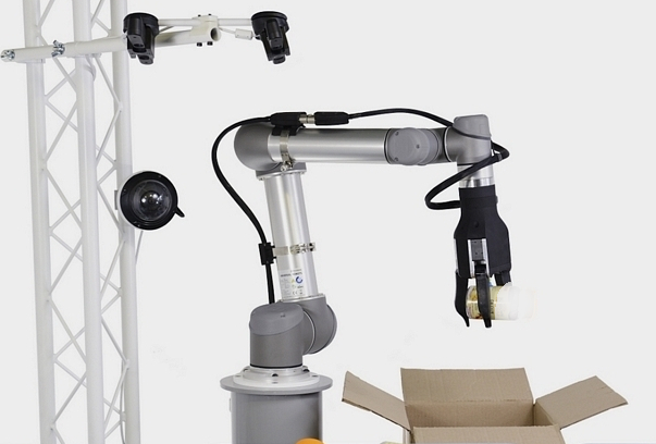
AI controlled robotic arm for classification and selection of archaeological ceramic fragments
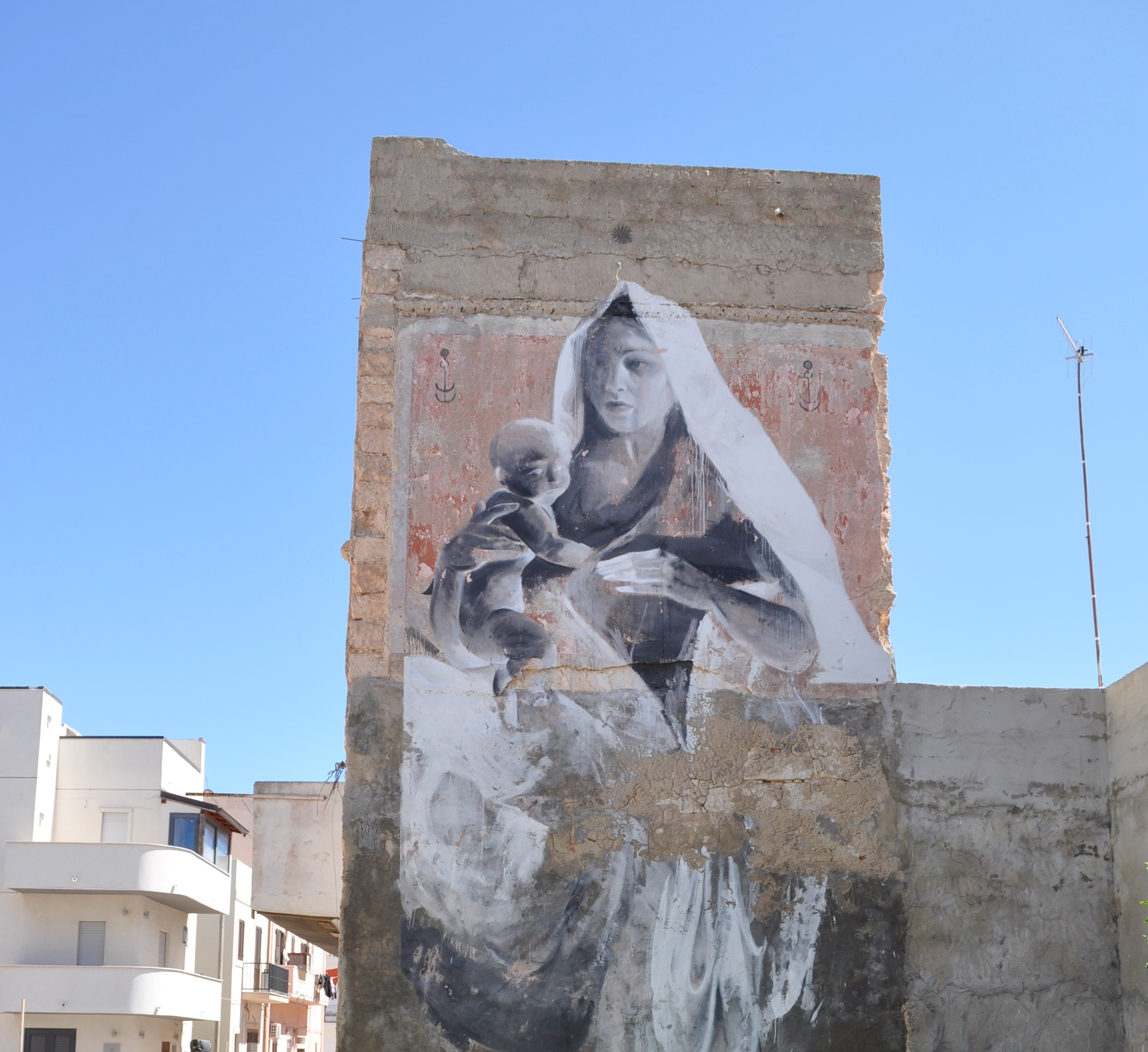
e-COOL: Ethnographies of Communities, Objects and places in Lampedusa
In the last two years, Lampedusa has been a focus for archaeological and anthropological educational experiences. Following this path, e-COOL project aims to open a new phase where students will be protagonists proposing original research themes.
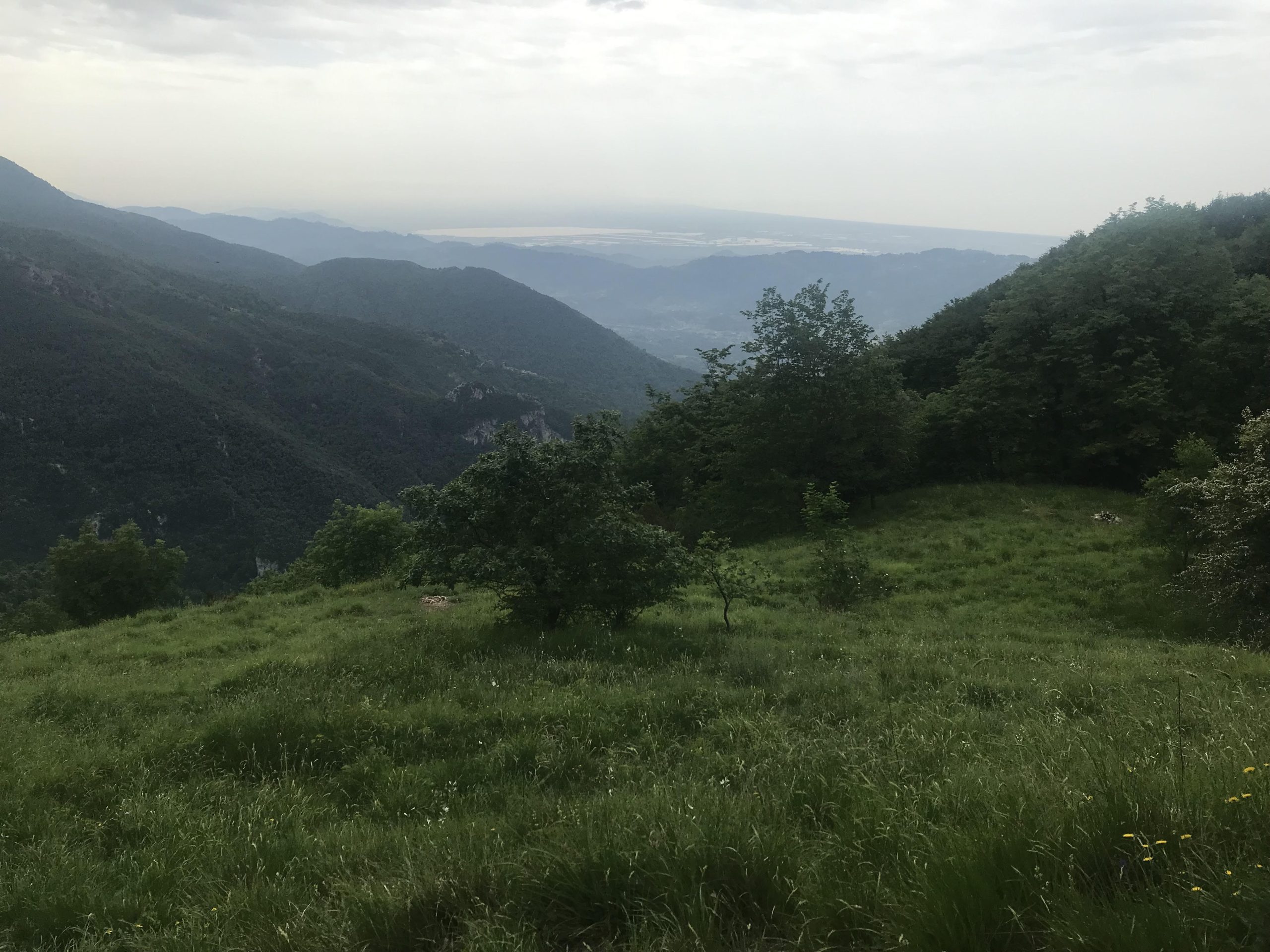
Resurgences: exploring the ecologies of abandonment
The purpose of the teaching project is to introduce students to the diachronic study of the abandoned landscapes of the Apuan-Versilian area, exploring the places of “resurgence”, or those areas that have been the scene of economic and subsistence activities and which are now abandoned.
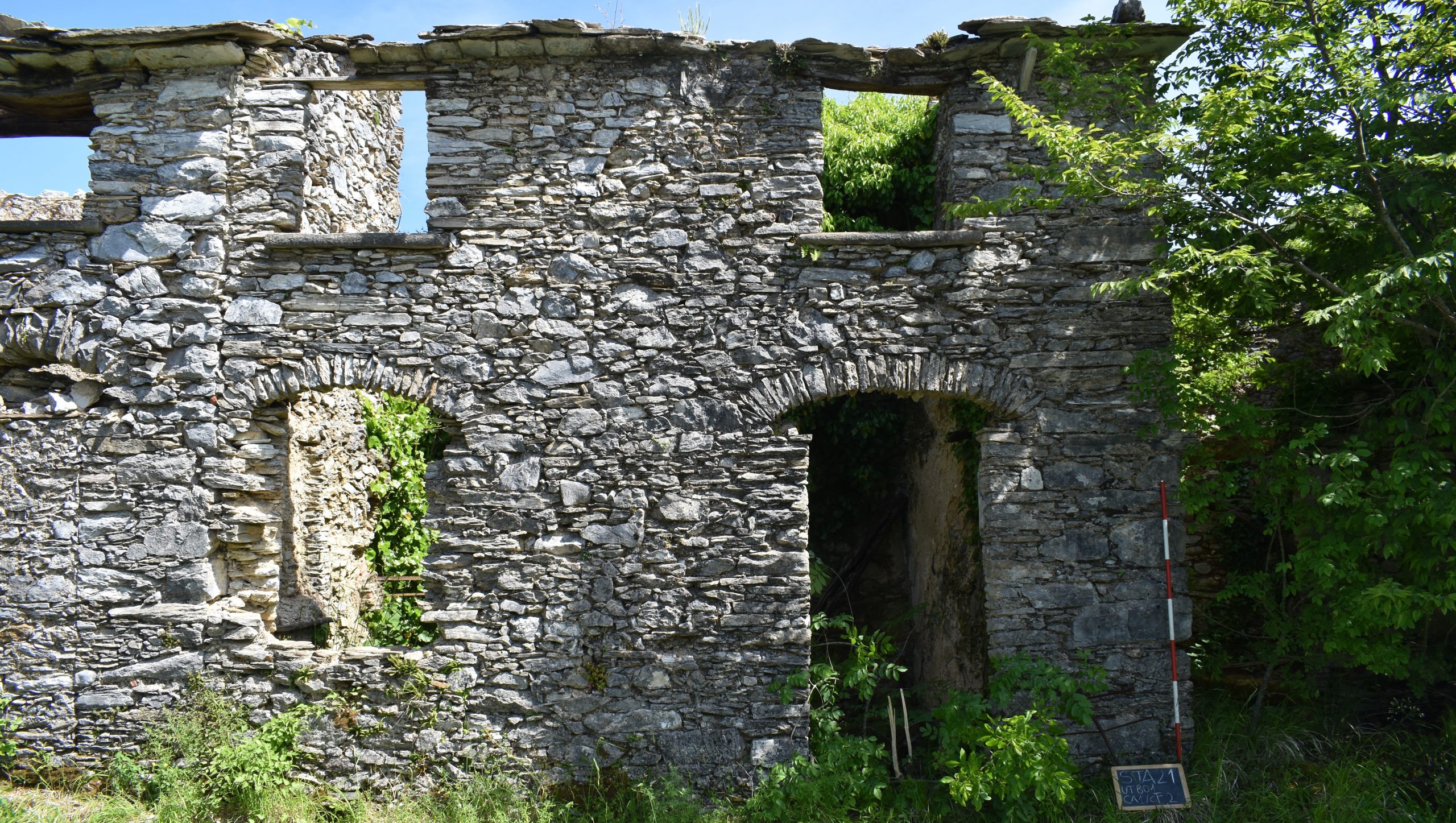
ARAM: ARchaeologies of Abandonment on the Middle Mountain (2022-2024)
The “mid-mountains” are those areas that are not strictly hilly or with high altitudes, where the habitable space represents a dialectical mediation in the changing physical conditions. It is a multifaceted and polysemic place, in a strong relationship between natural and cultural mountains. These places result from overlaying of abandonments that have registered its economic-social marginality.
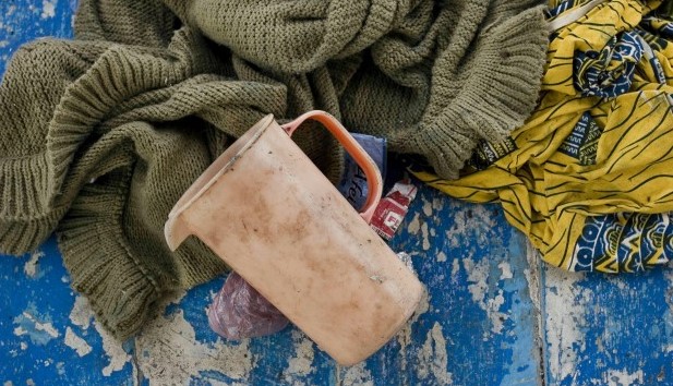
Archaeology of undocumented contemporary migrations
this phenomenon as an evidence of actual anthropic activity.
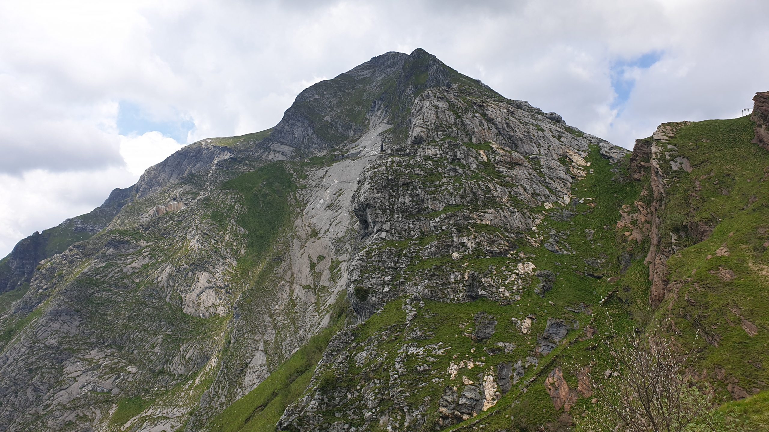
Forsaken ecologies. Environmental archaeology and preservation of cultural landscapes in the Versilian area of Alpi Apuane (2022-2025)
The combined analysis of the material traces of anthropic activities, of the located knowledge of local communities and the paleoenvironmental evolution of the territory, constitutes a powerful resource for the promotion of policies for a sustainable management of mountain areas.
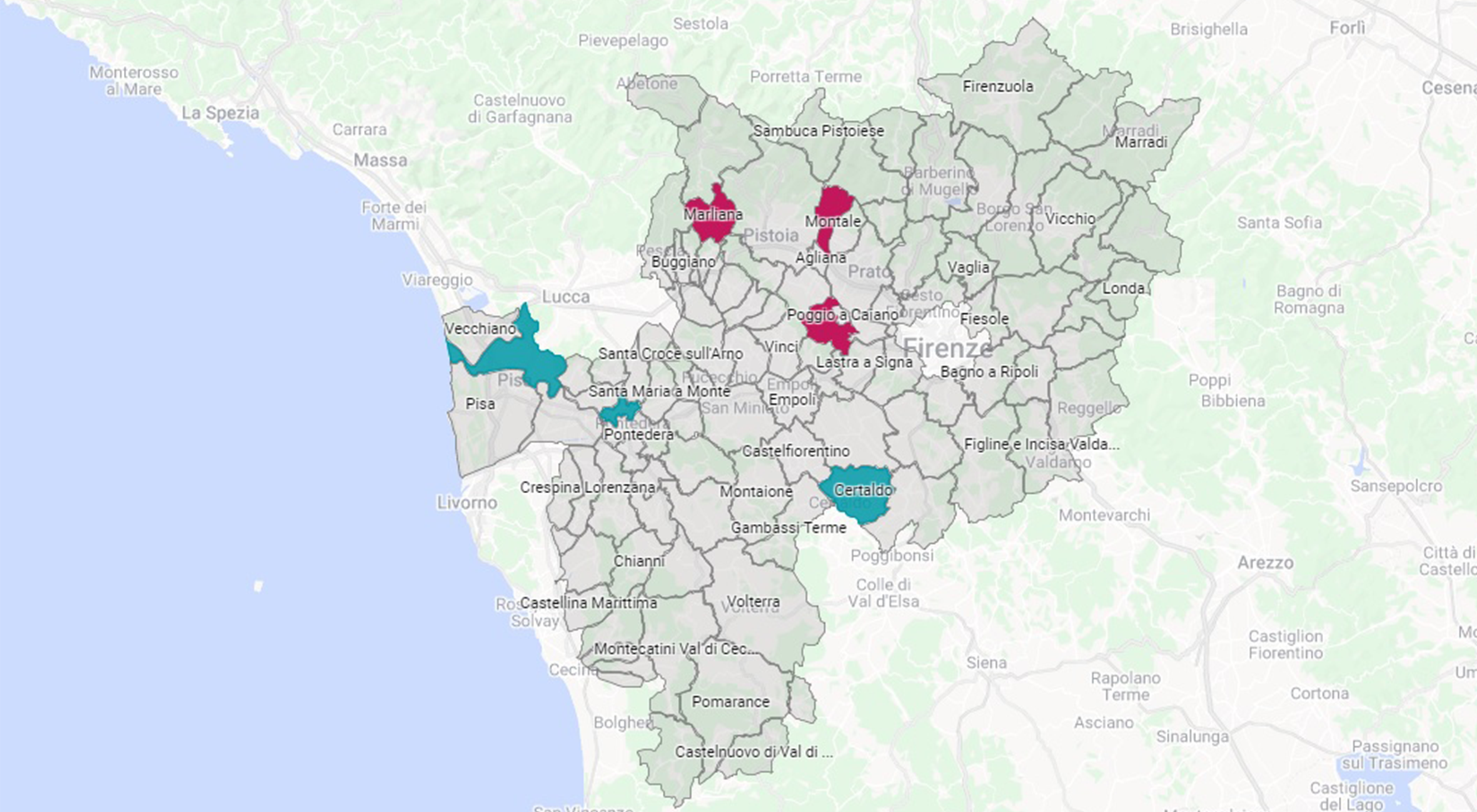
MAGOH (Managing Archaeological data for a sustainable GOvernance of the Heritage) 2020-2023
MAGOH is one of the winner projects on the call named “100 assegni per la Cultura” promoted by Regione Toscana. The aim of the project is to create a platform of archaeological data managing about the Province of Pisa and the urban area of Firenze. MAGOH will allow the data access and the optimisation of the cycle of the archaeological data, improving research, protection and enhancement actions.
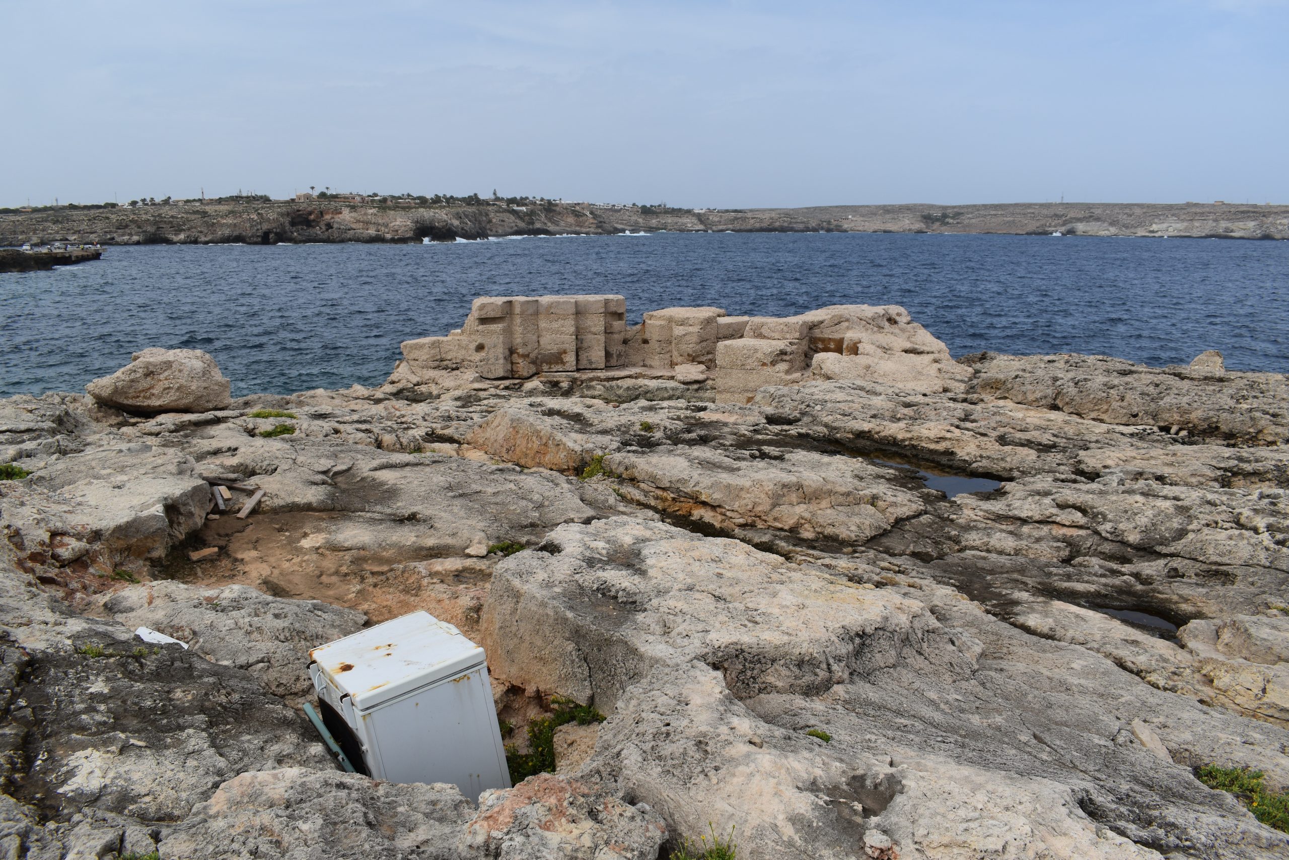
ISOLA: Investigate the global stories of everyday objects in Lampedusa (2022)
How can material culture be studied and documented in the globalization and consumption era?
The educational project ISOLA wants to work on this issue through a multidisciplinary experience between Pisa and Lampedusa. The island of Lampedusa has been chosen as a microcosm where global and local complexity crossed and where it’s possible to read this phenomenon through left material traces.
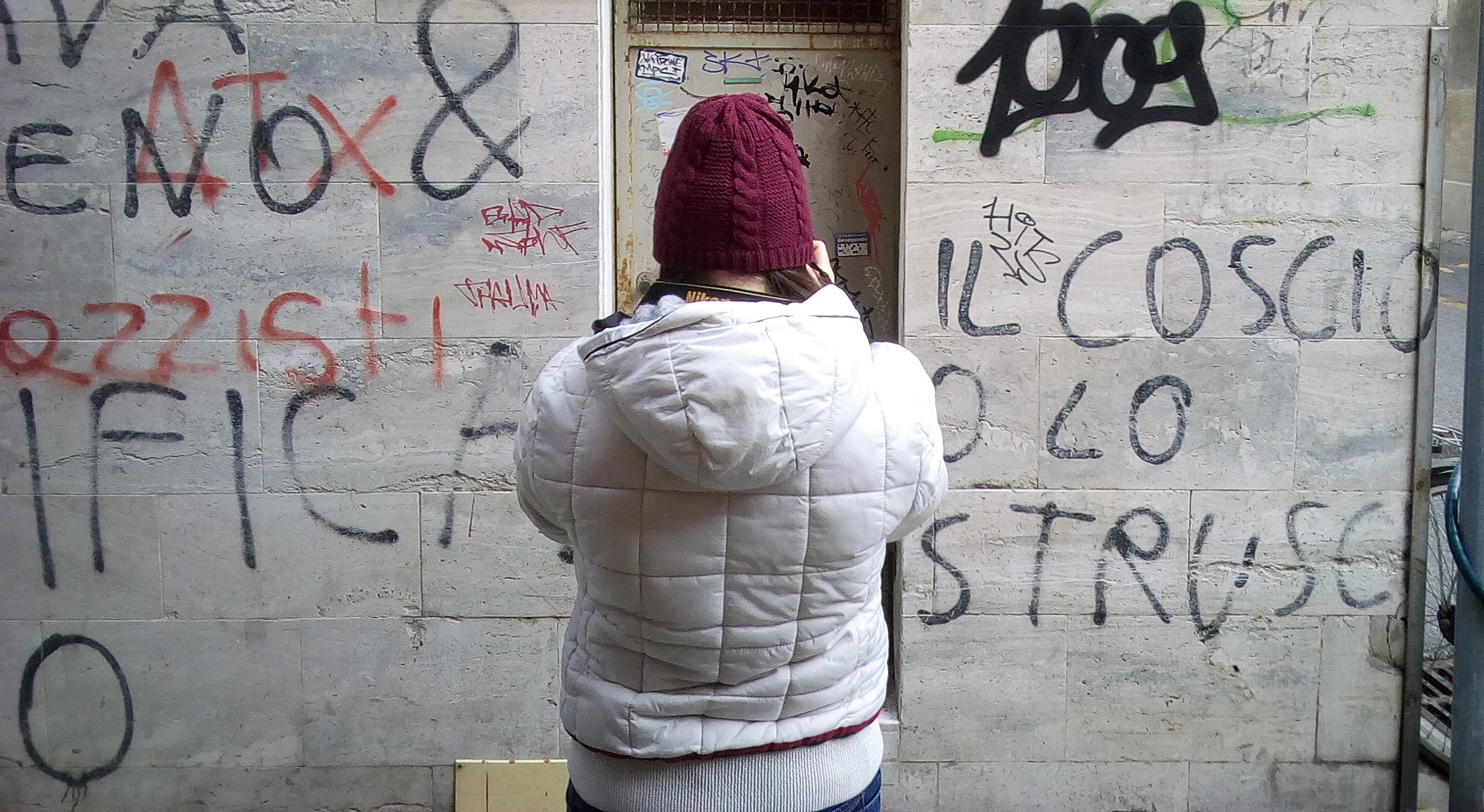
WRITES: WRiting Is on ThE wallS (2020-2023)
WRITES is a contemporary archaeology project that aims to verify the feasibility of the archaeological analysis of contemporary traces, such as graffiti, writings, drawings, stickers, posters, scattered on walls, facades, shutters, doors, gates in the historic centre of Pisa.
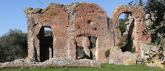
From Vitruvio to ArchaeoBIM. BIM reconstruction of the archaeological context of Massaciuccoli ( Massarosa - LU)
In the debate on the search for new archaeological methodologies, the use of BIM (Building Information Modelling) has begun to develop over the last decade. This technique, derived from disciplines such as architecture and civil engineering, involves the creation of 3D models of architectural objects correlated with a series of databases, allowing the simultaneous management of a large amount of heterogeneous data.
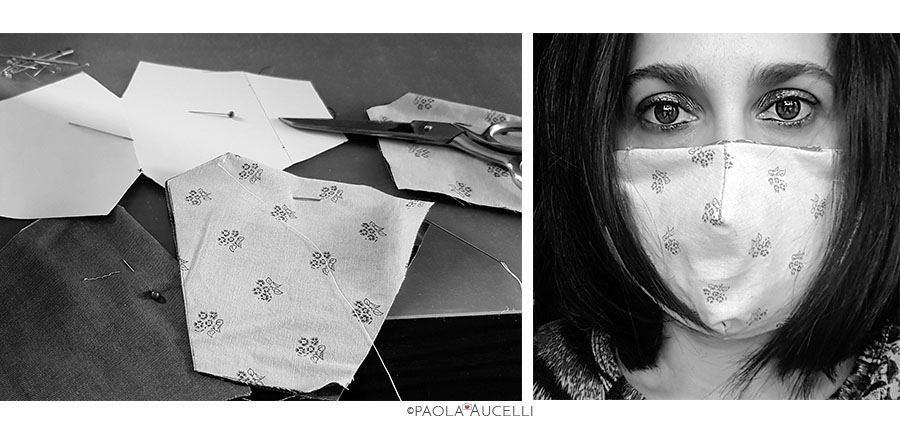
Every Thursday (2020-2023)
“Every Thursday” is a contemporary archeology project that aims at documenting the daily life during the period of quarantine imposed by the Italian government as a containment measure for the Covid-19 epidemic.
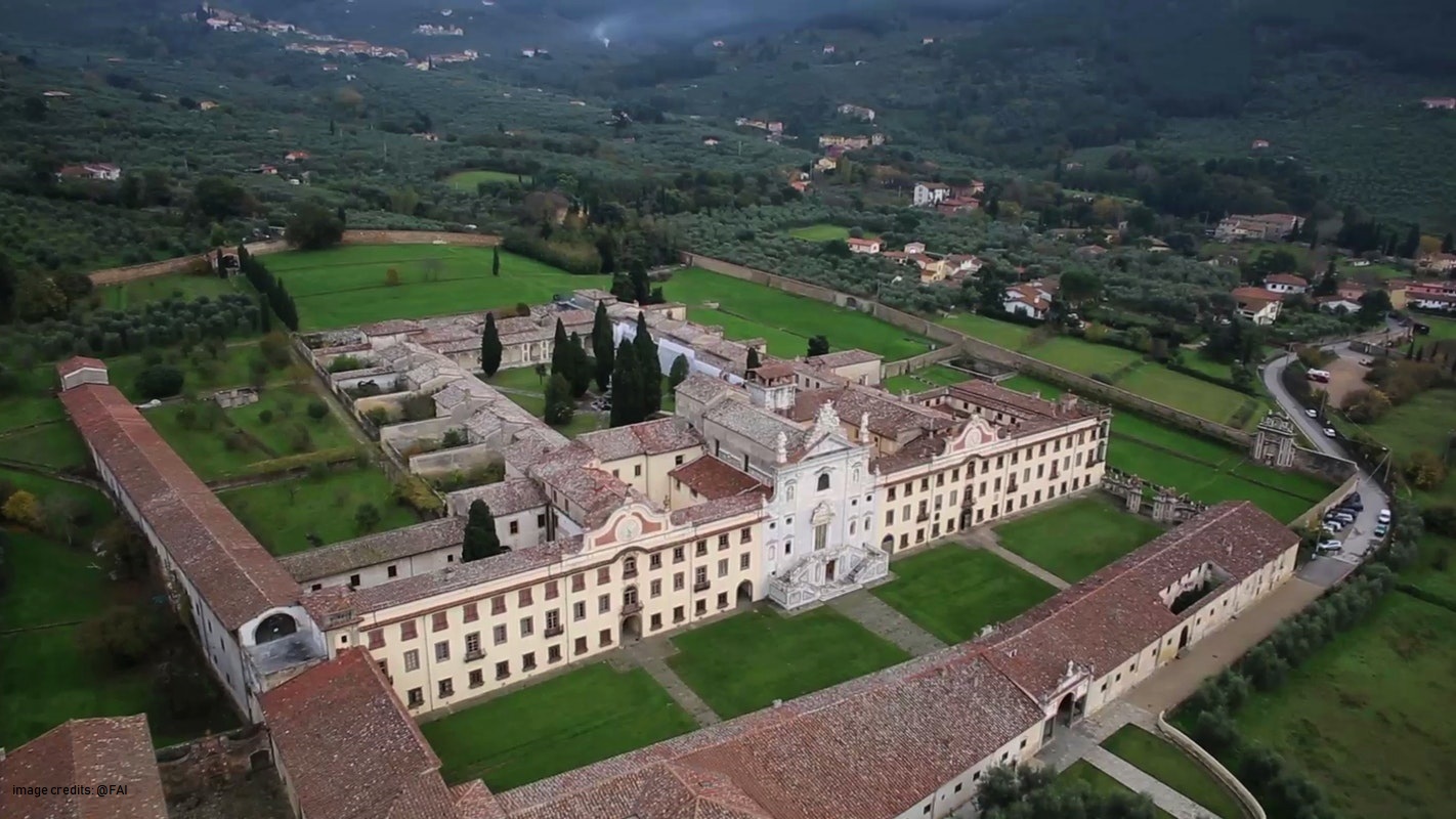
Certosa di Calci (2017- on going)
The University of Pisa, through a large consortium of its departments, has activated a large program of conservation and enhancement of the Certosa di Calci complex and its museum poles.
The MAPPA Laboratory will focus on the Archaeological Impact Assessment (VIArch) and on the collection and management of all the archaeological data of the territory of the Municipality of Calci.
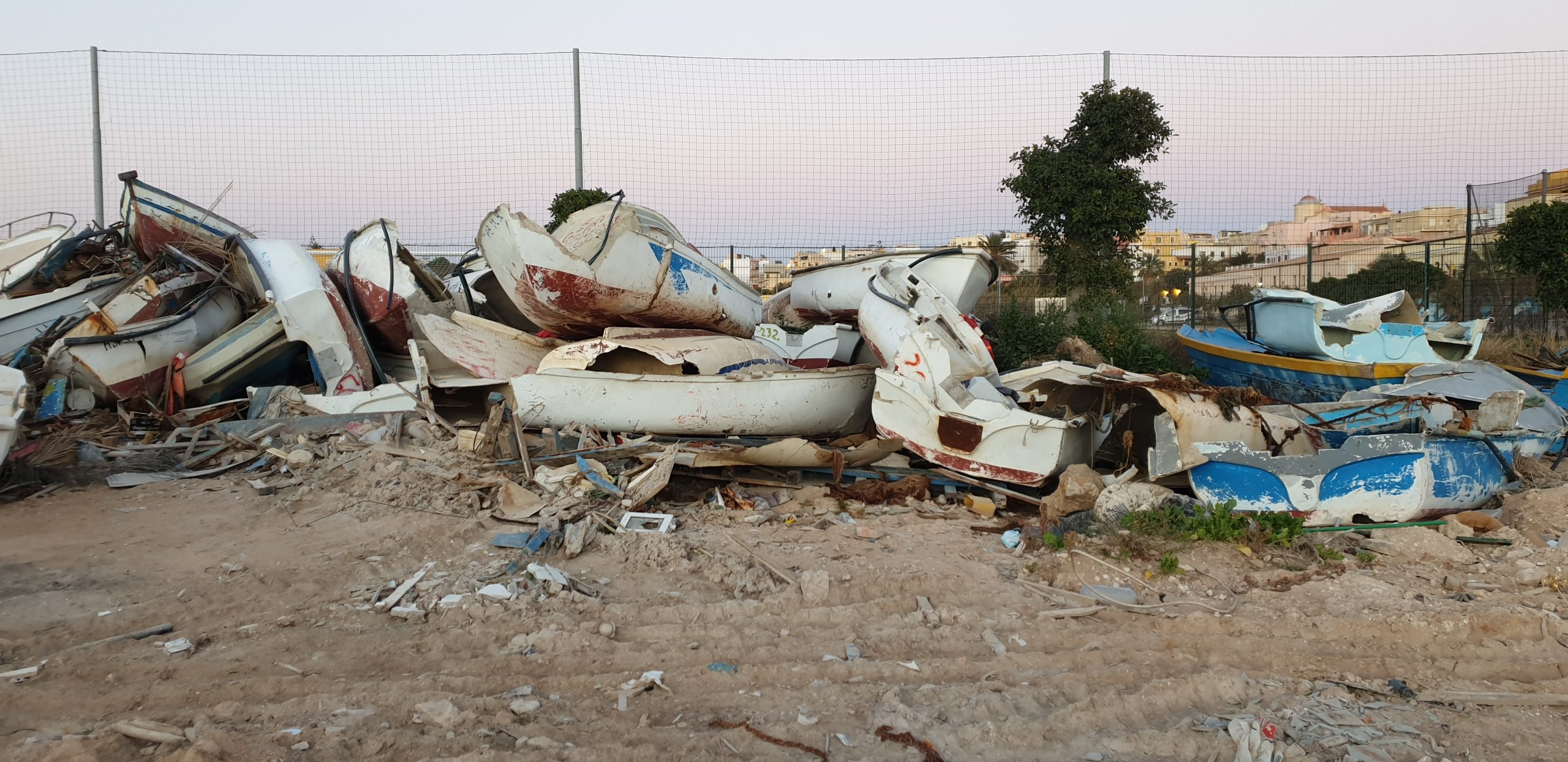
Archaeology of borders (2021)
The contemporary borders are the issue on the Special Teaching Project titled “Archaeology of Borders”, promoted by the class of Methodology of the Archaeological Research. The project plans a trans-disciplinary archaeological and anthropological path.“Archaeology of Border”, starting from the broader approaches carried on by the MAPPALab’ projects such as “Contemporary archaeology” and “Archaeology of undocumented contemporary migrations”, aims to involve the students in a didactic experience through the idea of the contemporary borders.
ArchAIDE (ARCHaeological Automatic Interpretation and Documentation of cEramics, 2016-2019)
The MAPPA lab is coordinator of the ArchAIDE project, funded by H2020-RIA programme.
ArchAIDE aims to create a tool for the automatic recognition of ceramics through the use of deep learning. Starting from a simple photograph, the ArchAIDE App will provide the digital classification of each fragment correlating it with the information of the ceramic catalogs for the first time available online.
Digital Library – Dep. of Civilization and Forms of Knowledge (2021 – on going)
The Digital Library project involves the realisation of a repository for all of the Department of Civilisation and Forms of Knowledge’s digital objects and will be online in July 2021.
The Digital Library’s goal is long-term preservation and open dissemination. The Digital Library will be available to all researchers, studends and general public.
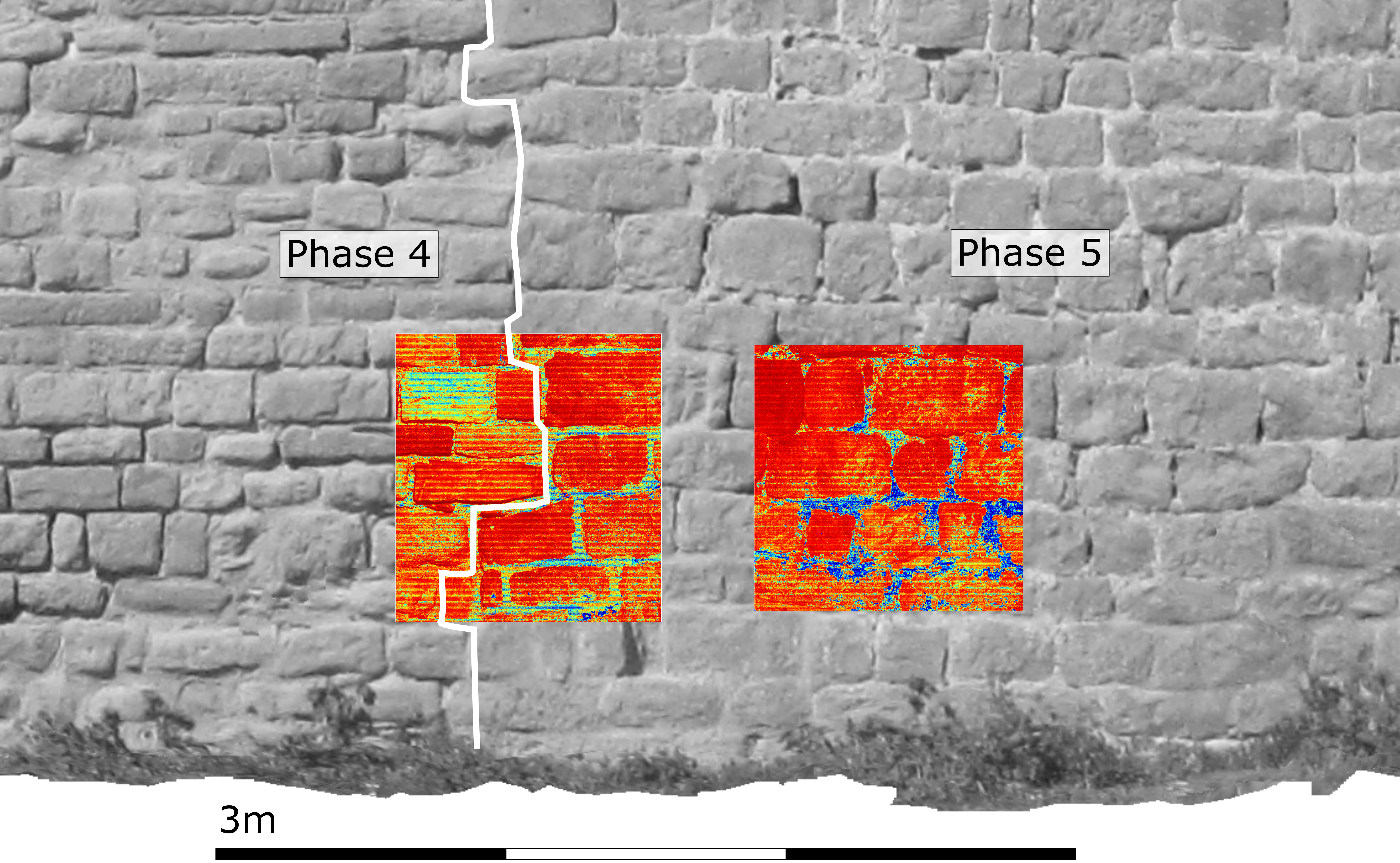
The invisible cities. Transformations and persistence of the ancient urban structures: the building materials. (2019-2021)
The aim of the project is to investigate the transformations of the urban space of the city of Pisa during the Roman period and the late antiquity (3rd century BC – 5th century AD), by means of archaeometric analysis on building materials.
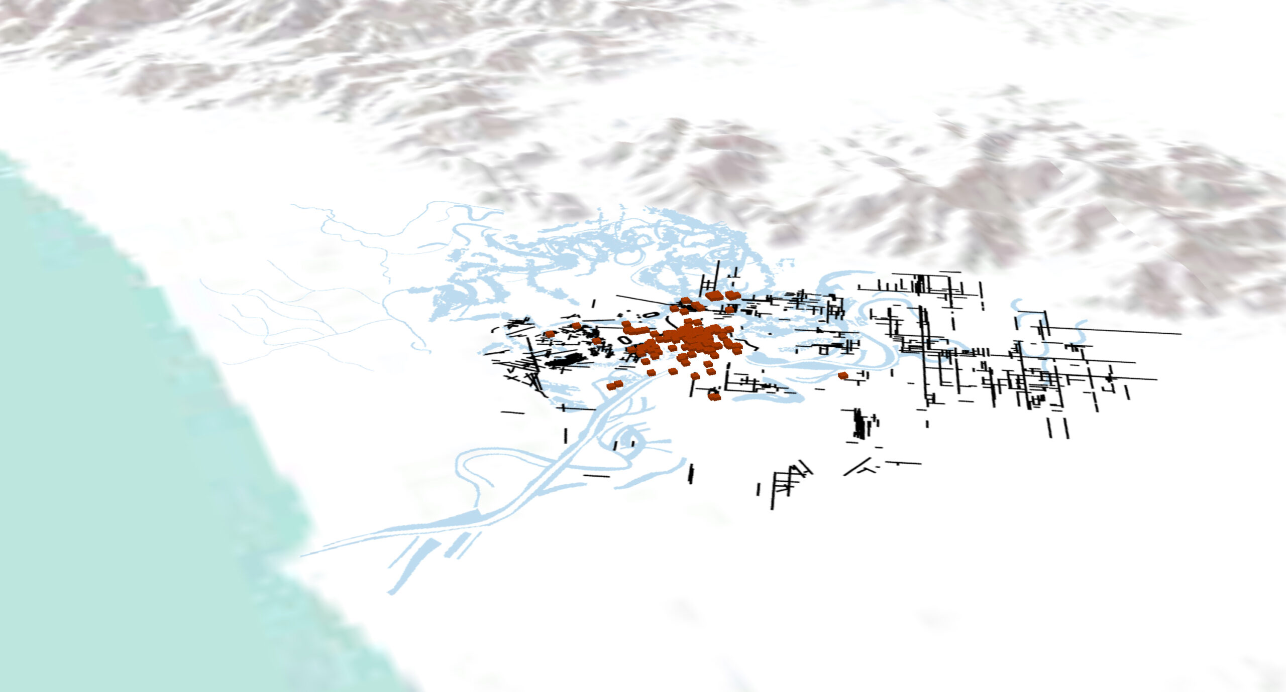
The Ager Pisanus between Romanization and Late Antiquity (III century BC-VI AD): continuity, discontinuity and transformation (2018-2022)
The research aims at the study of the city and the territory of Pisa between the Hellenistic age, the Roman age and the late antiquity, for an analysis of the settlement dynamics in a long-term perspective.

NLP: Natural Language Processing (2018 – in corso)
The techniques allowing the extraction of such information from documents are part of Natural Language Processing (NLP): these are algorithms that extract, structure and analyze information from textual sources.

Mura Night Experience (2020 – 2021)
MAPPALab is one of the partners of “Mura Night Experience” project, started in 2020. The project is creating a new cross-media narrative around the Wall of Pisa and the history of the town.
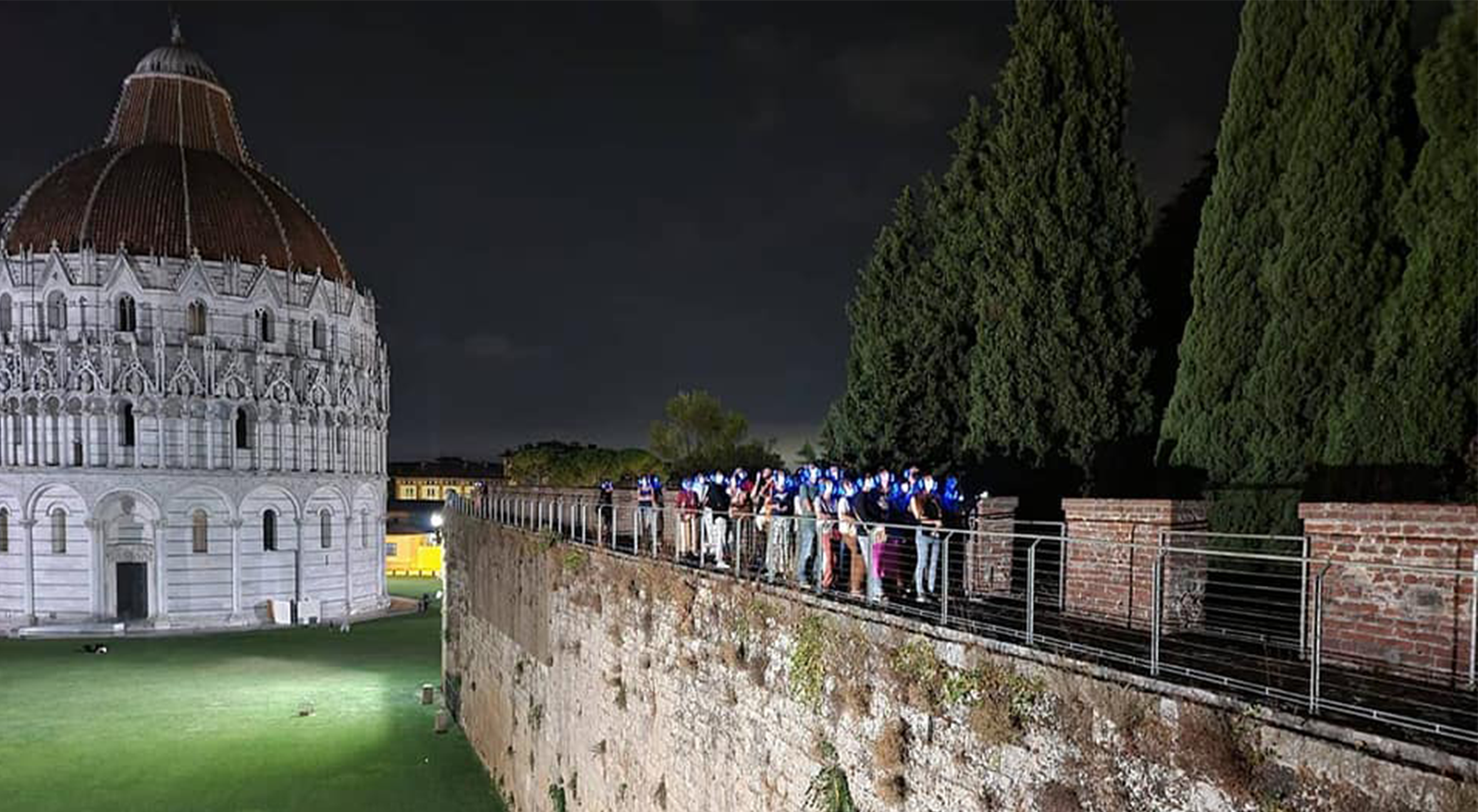
Nerone Night Experience (2022)
MAPPALab is one of the partners of the “Nerone Night Experience” project, a new cross-media narrative around the history of Roman Bath in Pisa, called “Bagni di Nerone”. We’re scheduling the events calendar for Spring- Summer 2022. Nerone Night Experience is an initiave by ‘Acquario della Memoria’ association.
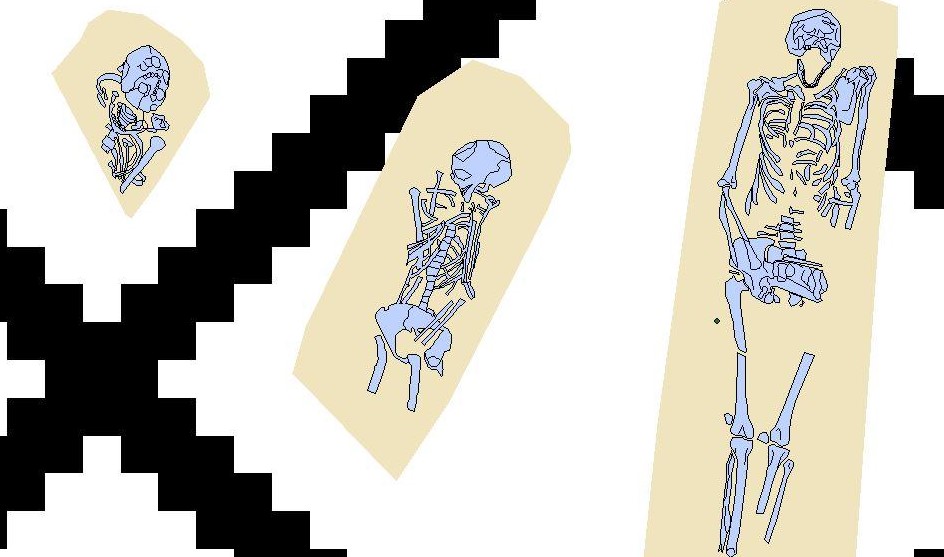
The urban necropolis of Pisa between late antiquity and the early Middle Ages (2019-2020)
The work is part of the University Research Project (PRA) “Funerary landscapes between ritual and society. New approaches to the study of necropolis in the ancient world “, coordinated by Anna Anguissola. The biennial project is aimed at studying necropolises in different contexts, both spatial and chronological.
MAPPAGIS (2013 – on going)
The MAPPA web-GIS is the digital mapping instrument used for the free publication of archaeological, geological and geomorphological data on the web. The MAPPAGIS was created in the MAPPA project and records all the archaeological interventions carried out in Pisa from 1562 to today. Through appropriate implementations, the web-GIS provides access to topics of scientific and public interest regarding archaeological mapping, archaeological potential mapping and geomorphological mapping.
The MAPPA web-GIS is a dynamic and up-to-date tool that can be freely consulted and that enables real-time queries of data and relevant analysis.
MOD (2012 – on going)
MOD (MAPPA Open Data) is the first italian digital archaeological archive developed to preserve
and disseminate the archaeographic documentation (Datasets) and grey literature (Reports) produced during archaeological surveys.
The MOD protects those who have produced the documentation in all its forms through the application of a DOI to each Dataset and / or Report and the use of the CC BY-SA 3.0 license, in order to simultaneously allow the correct circulation of data and the protection of intellectual paternity.
MAPPA Project (Methodology Applied Archaeological Potential Predictivity, 2011-2013)
The MAPPA project, conducted by a consortium of Departments of the University of Pisa (Civilization and Forms of Knowledge, Earth Sciences, Mathematics), was aimed at the creation of a Charter of archaeological potential of the city of Pisa developed through a predictive algorithm. Through the digitization, management and georeferencing of all the archaeological data of Pisa, during the two years of research, an archaeological WebGIS, an OpenData digital archive (MOD) and paleogeographic maps were created.
