The last ALD1/2021 paper by Elisa Paperini, titled “Lettura archeologica della dispersione dei rifiuti in un parco pubblico: l’uso di Geopaparazzi in ricognizione”. Read the article https://www.mappalab.eu/wp-content/uploads/2021/06/10_geopaparazzi.pdf and download and reuse the open data dataset on MOD:
http://mappaproject.arch.unipi.it/mod/Archive.php?pk=609d0c2705f8a5.48464470
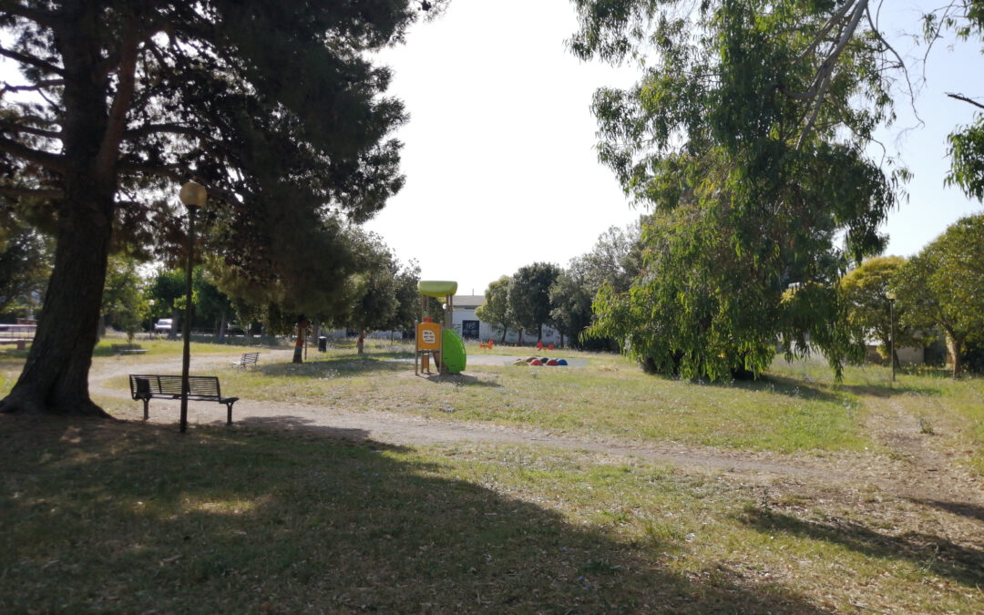
Abstract: Every archaeologist, since their early years of University, learn that waste is a very important source of information (Carandini, 2000; Pallecchi, 2015, pp. 46-55). Anyway, it is not useful only for investigating antiquity. This study is based on the archaeological survey of a part (1236 sqm) of Giardini di Piazza Firenze (Tuscany, Livorno) carried out on July 11-12, 2020. During the survey, about 336 contemporary anthropogenic traces were recorded using Geopaparazzi 6.0.3 application. The aim of this project is to test the Geopaparazzi application for information collection in archaeological surveys, in order to create digital data directly processable by software such as gis. This would make the archiving of the documentation produced more automatic and faster. Collected data was imported into QGIS 3.4 cleaned and explored through Point Pattern Analysis and Kernel Density Estimation. The dataset can be useful for studies about surface material dispersion and accumulation.
http://mappaproject.arch.unipi.it/mod/Archive.php?pk=609d0c2705f8a5.48464470
Abstract: Every archaeologist, since their early years of University, learn that waste is a very important source of information (Carandini, 2000; Pallecchi, 2015, pp. 46-55). Anyway, it is not useful only for investigating antiquity. This study is based on the archaeological survey of a part (1236 sqm) of Giardini di Piazza Firenze (Tuscany, Livorno) carried out on July 11-12, 2020. During the survey, about 336 contemporary anthropogenic traces were recorded using Geopaparazzi 6.0.3 application. The aim of this project is to test the Geopaparazzi application for information collection in archaeological surveys, in order to create digital data directly processable by software such as gis. This would make the archiving of the documentation produced more automatic and faster. Collected data was imported into QGIS 3.4 cleaned and explored through Point Pattern Analysis and Kernel Density Estimation. The dataset can be useful for studies about surface material dispersion and accumulation.